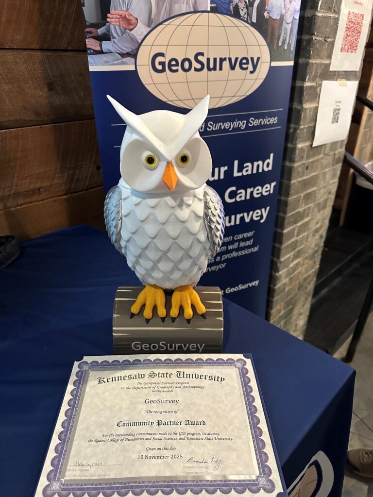
We are very honored to receive Kennesaw State University’s Community Partner Award presented at their Geospatial Sciences Night. Congratulations to Carlos Acevedo-Gonzalez and Nathan Nightingale for earning the 2025 GeoSurvey Endowed Scholarship!
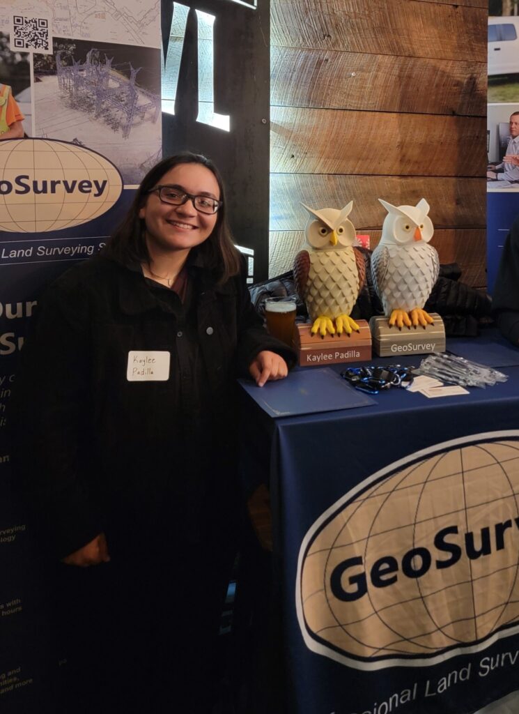
Kaylee Padilla, a 2024 GeoSurvey Endowed Scholarship winner, was also awarded the Outstanding Geospatial Science Student Award. It was a delight to meet everyone and cheers to your achievements!
More information about the GeoSurvey Endowed Scholarship can be found here.
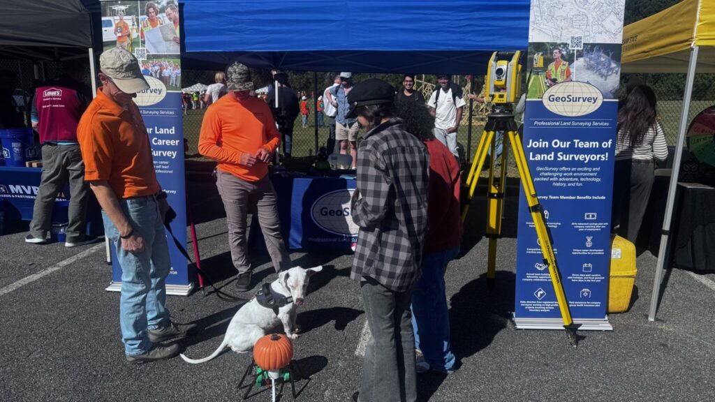
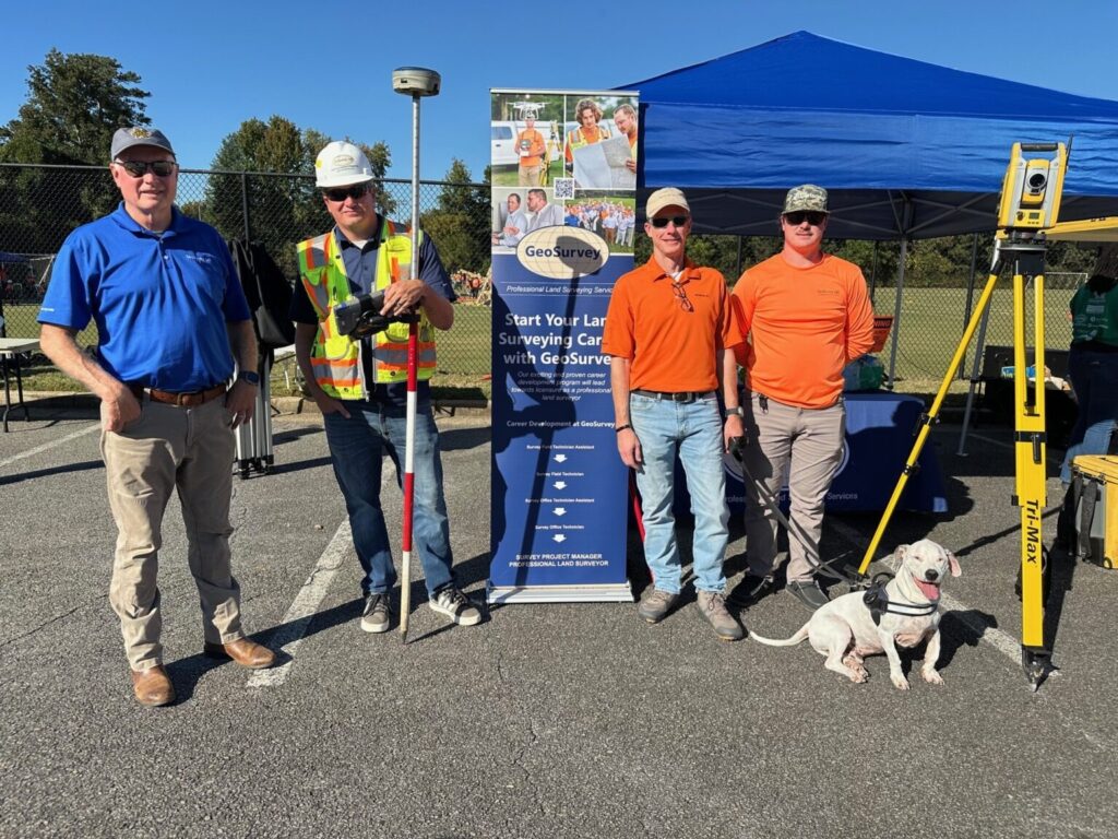
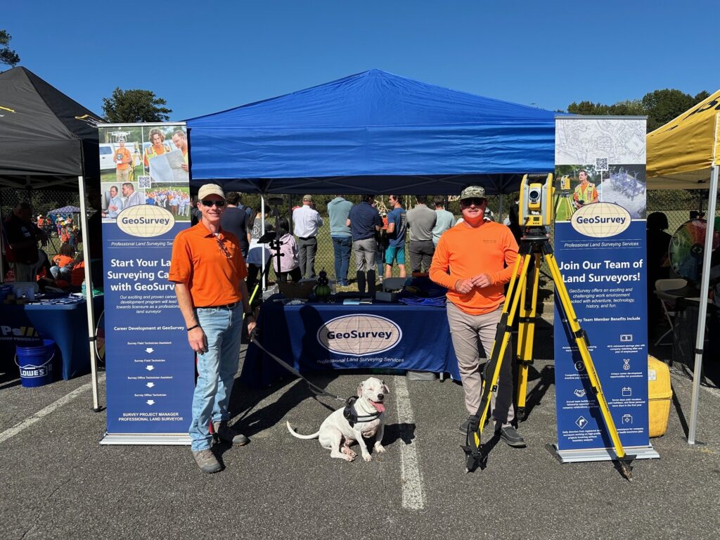


 Do you have what it takes to be a Land Surveyor?

