Markets We Serve
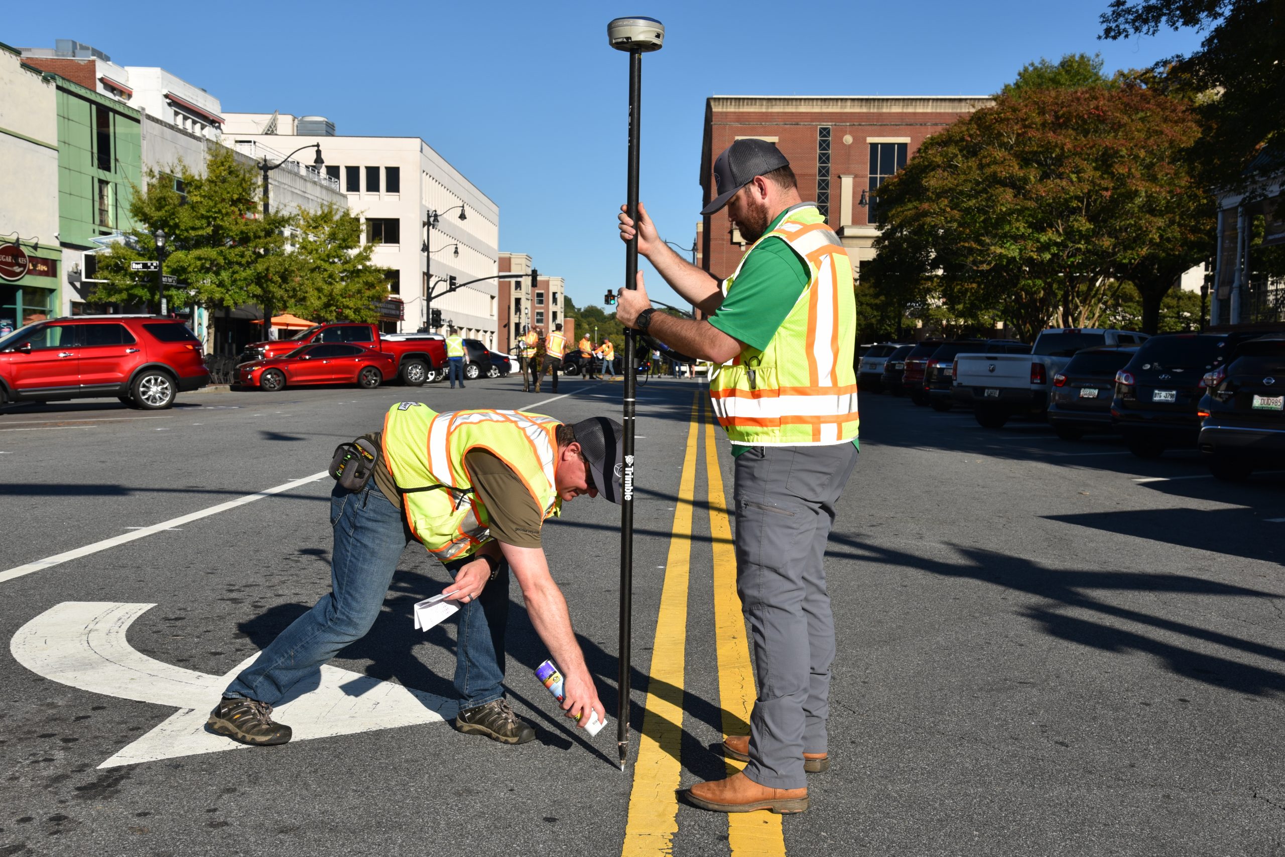
GeoSurvey provides land surveying and laser scanning services for many markets throughout Southeastern U.S.
Our Markets Served Are:


Commercial and Industrial Transactions
We routinely provide ALTA/NSPS land title surveys of properties involved in financial transactions such as purchasing, selling or refinancing. We work closely with real estate attorneys, developers, and other parties to ensure a smooth process for the transaction and closing.
Land Development and CIVIL Engineering
Our "CivilReady" land surveys serve as the digital foundation for developers and engineers with their land development and design needs. Grading plans, utility plans, and layout decisions are made with confidence by our clients. Our construction services group assists construction companies with the layout of proposed buildings and infrastructure.
Residential
GeoSurvey provides residential land surveys that assist homeowners with identifying their property corners and property lines. We also create surveys required for obtaining permits for proposed improvements.
Architecture, INDUSTRIAL, INSTITUTIONAL
Architectural, Industrial, and Institutional clients use our land surveys and 3D laser scans of existing buildings and infrastructure to fully document the existing conditions of these features. We provide comprehensive land surveys, floor plans of building interiors, 3D digital models of buildings and infrastructure, and other related services for this sector.
