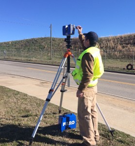
GeoSurvey, Ltd., is Pleased to Announce The Opening of Our 3D Laser Scanning Division
3D Laser Scanning, also known as High Definition Surveying, is quickly becoming the most cost efficient and accurate method of developing as-built conditions of existing structures and surfaces. Days, or even weeks of valuable time and effort can be saved by utilizing 3d point clouds vs. conventional measurements to develop as-built conditions of existing structures and features. 3D point clouds are now fully supported in all later versions of design software packages, including all Autodesk products and Bentley products.
Find out more about our 3D Laser Scanning services on our website or feel free to call us to discuss how we can assist you with your next project!
Brad Cash 770-795-9900 xt 142
Trent Turk 770-795-9900 xt 114
Email us if you’d like at info@geosurvey.com.

